Product
Tunnelbeleuchtung / Tunnelventilation / Zentralenlüftung
- Aus jahrelanger Erfahrung kennen wir die Anforderungen an eine Tunnelbeleuchtung genau. Mit unseren Steuerungen schaffen Sie die Balance zwischen Sicherheit und Umweltverträglichkeit, da Sie optimal auf Veränderungen von Umgebungsbedingungen reagieren können.
- Tunnellüftungen sind sicherheitsrelevant! Diesen Anspruch an unsere Lösung verlieren wir in keiner Projektphase aus den Augen. Die geforderten Lüftungskonzepte werden exakt umgesetzt und seriös geprüft. Mit klaren Konzepten und einer ausgeklügelten Software sorgen wir für klare Sicht - auch und gerade im Ereignisfall.
- In den technischen Zentralen befinden sich alle die technischen Geräte, welche zu einer sicheren Tunnelanlage notwendig sind. (SPS-Steuerungen, Sensorik wie Windmessung, Sichttrübungsmessungen, Rauchdetektion, etc.) All diese Apparaturen sind auf normale Temperatur- und Feuchtigkeitswerte angewiesen. Die Steuerung einer Zentrale- oder Gebäudelüftung übernimmt genau diese Aufgabe. Mit Zuluft- und Abluftventilatoren, Wärmerückgewinnung und Kälteanlagen werden die Zentralen entsprechend den Vorgaben lüftungstechnisch geregelt und gesteuertrungen von Umgebungsbedingungen reagieren können.
Fotos: Fotolia_10056325, Fotolia_16360313_S
Price of the Product
Category of the Product
Company website
Our recommended products and services
-
-
Software TedisNet SCADA-based applications are advanced operating and control tools for electrical distribution networks.
-
Software Rental for Surveying: 3D and Drone | INSTOP Catalunya At INSTOP Catalunya, we offer a comprehensive surveying software rental service, including solutions for 3D modeling, drones, and geospatial analysis. This service allows construction, engineering, architecture, and surveying companies to access professional, cutting-edge tools without the need for a long-term investment. Software Available for Rental: 3D modeling and design: for topographic surveys, civil works, and urban planning projects Drone data processing: creation of maps, orthophotos, point clouds, and digital terrain models (DTM/DSM) Geospatial and GIS analysis: integration of topographic data with GIS and BIM platforms Compatibility with Leica equipment and other professional sensors Benefits of Renting Surveying Software: Cost reduction by avoiding permanent licenses Flexible rental terms, ideal for short-term or specific projects Access to the latest software versions and updates Optimized workflows, integrating drones, total stations, and GNSS Professional training and technical support included if needed Typical Applications: Topographic surveys and terrain modeling Drone inspections and aerial mapping Construction monitoring and urban planning Generation of maps, point clouds, and 3D models for technical analysis Integration with BIM systems for advanced engineering projects 📩 Contact INSTOP Catalunya for professional advice and a personalized quote for 3D and drone surveying software rental.
-
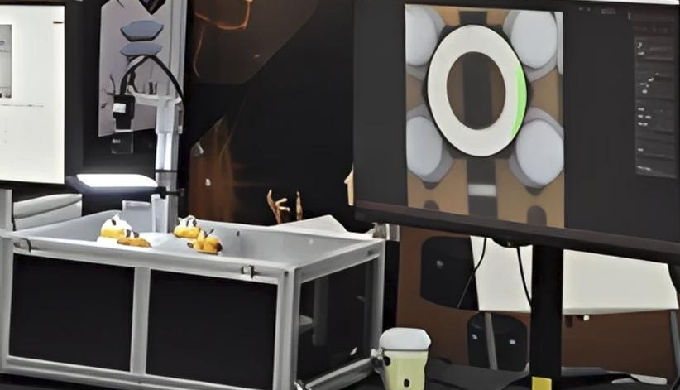
• AI vision-based precision inspection system easily applicable to manufacturing sites • μm-level precision inspection of product appearance, dimensions, shapes, fastening states, and more • Over 99% defect detection accuracy ensures both quality stability and productivity • Lot-based inspection data storage and traceability • Defect statistics dashboard (by lot/type) for quality monitoring • Multi-language support for inspection results (Korean/English)
-


